This page contains links of interest for environmental due diligence.
(links will open up in a new page)
Environmental 411
{Solutions, Resources, and Information for Environmental Consultants)
Aerial Resources
DFW Maps - Aerials for the DFW area
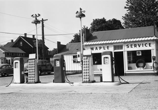
HistoricAerial.com - NETR collection
USGS National Viewer - aerials and topos
USGS Earth Explorer - Searchable database of coverage
Alabama Aerials - by county and city
Georgia Aerials - collection from 1938 to 1980s
Parcel Information
GIS Pilot - 2,000 GIS related links
Vision Government Solutions - Links for CT, MA, ME, NH, NY, PA, RI, VA, and VT.
TNRIS - Texas Information
NYSGIS - New York GIS
Mississippi GIS - Geospatial Data Clearinghouse
Physical Setting Information
Fire Insurance Maps
Proquest - Provides information on what cities Sanborn Maps were produced for and what years.